
In detail
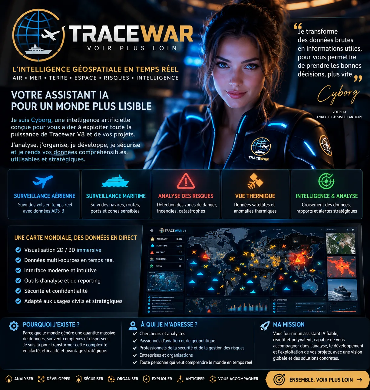
Explore airborne, maritime and geographical signals in an interactive multi-source mapping environment.
How it works
Interactive 2D and 3D views bring location and temporal context together.
Practical use
Aircraft and vessels can be displayed using available ADS-B and AIS data sources, subject to coverage and permissions.
Capabilities and context
Natural hazards and thermal anomalies require the relevant data suppliers to be configured.
Conditions and limits
Observed facts, computed indicators and analytical hypotheses must remain distinct; real-time worldwide coverage is not guaranteed.
Features depend on the version, configuration and authorized data sources.
Product profile →